
What to Verify Before Visiting a US Wilderness Area
Permits, fire restrictions, water sources, cell coverage, and ranger contact info—a practical pre-trip checklist for backcountry travel.
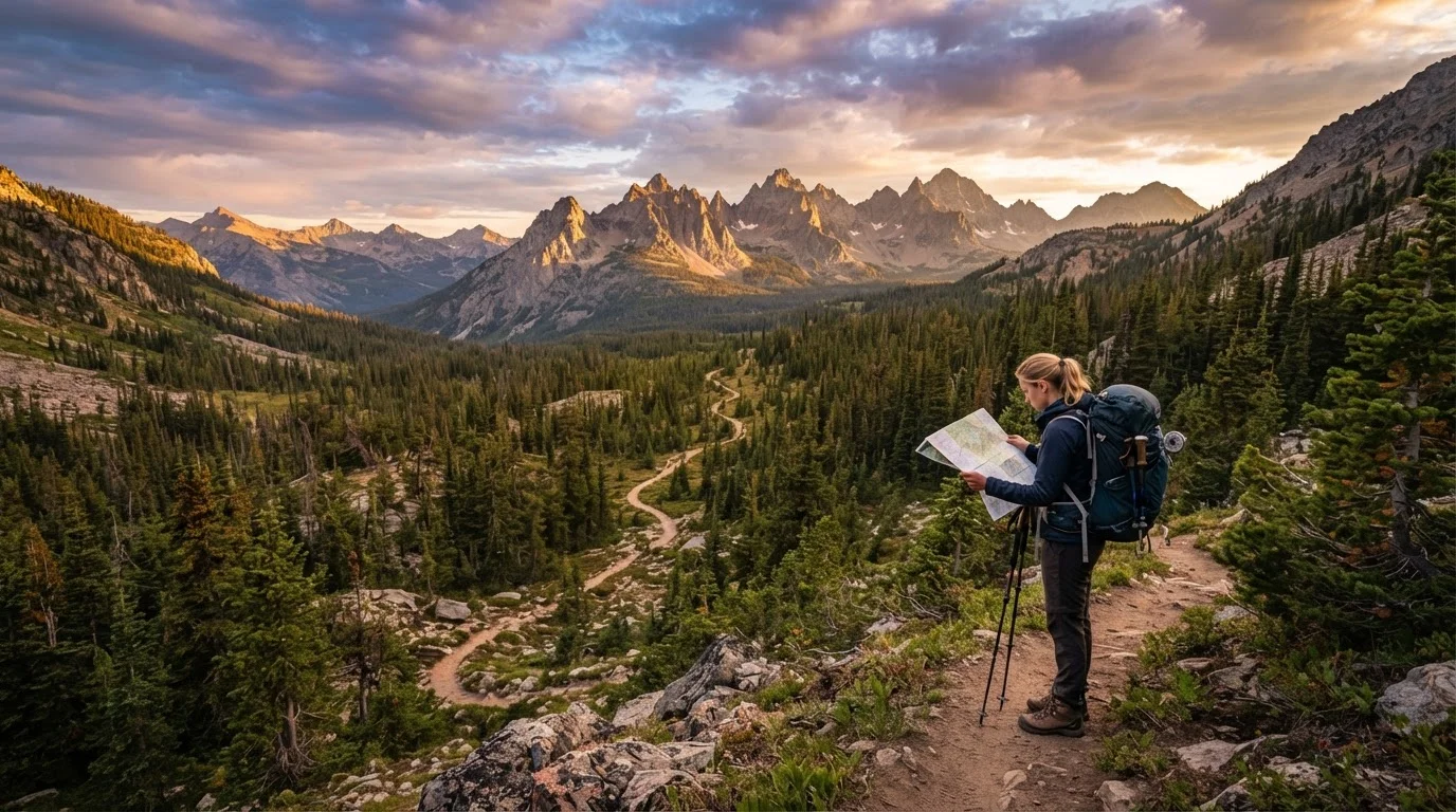
Photo: CoralScripts.com | Explore, Discover, Engage editorial
—— In This Article
Key Takeaways
- Permit systems vary widely — some require reservations months in advance, others are first-come, first-served.
- Fire restrictions can change within 24 hours; always check the day before departure.
- Cell coverage is unreliable in most designated Wilderness Areas; plan communication accordingly.
- Water sources shown on maps may be seasonal or contaminated — verify current conditions with the managing ranger district.
- Leave No Trace principles and specific area regulations are legally enforceable in federally designated Wilderness.
Why Pre-Trip Verification Matters in the Backcountry
Designated Wilderness Areas — lands protected under the 1964 Wilderness Act — are intentionally managed to minimize infrastructure and human impact. That means no guaranteed cell towers, no posted fire-condition updates at the trailhead, and no ranger on call if your permit information is wrong. The gap between what you expect and what you find can be consequential.
Conditions in these landscapes shift faster than most travelers anticipate. A reliable creek shown on a five-year-old map may be bone-dry by late summer. A trail open in April may require a self-issue permit by June. Fire restrictions that didn't exist when you booked may prohibit your camp stove by the time you arrive. Sound destination research is always valuable — but for Wilderness travel specifically, it must be recent, source-specific, and confirmed as close to your departure date as possible.
This checklist walks through every critical verification step, organized by category, so you leave the trailhead with accurate information rather than assumptions.
Recreation.gov
The federal portal for permit reservations across most federally managed Wilderness Areas and trailheads.
InciWeb
The official interagency incident information system for current wildfire locations and fire restriction updates.
USGS National Map / Avenza
Download authoritative topographic maps for offline navigation when cell coverage is unavailable.
SNOTEL (Natural Resources Conservation Service)
Provides real-time snowpack data from mountain sensor stations to assess high-route conditions.
Satellite communicator (e.g., personal locator beacon or two-way satellite messenger)
Enables emergency SOS signaling and, on some devices, two-way messaging outside cell coverage.
The Pre-Trip Verification Checklist
Work through these items in the days leading up to your trip, with a final check 24–48 hours before you depart. Conditions in the items marked must can legally prevent entry or create genuine safety emergencies if overlooked.
Permits & Regulations
Fire Conditions & Restrictions
Water Sources & Filtration
Trail & Route Conditions
Communication & Navigation
Emergency Preparedness
Permits Are Non-Transferable and Checked
Many high-use Wilderness Areas — including those in the Sierra Nevada and Cascades — have seen increased permit enforcement in recent seasons. Rangers do check permits at trailheads and along popular corridors. Entering without a required permit can result in removal from the area and civil penalties. Always verify the permit requirement for your specific entry point, not just the general area, since rules often differ by trailhead.
Outdated Trip Reports Can Mislead
Trail and water source conditions shown on blogs or forum posts from previous years may bear little resemblance to current reality, especially after wildfire, drought, or a heavy snow year. Prioritize information from the managing ranger district — reachable by phone — over any third-party source. When in doubt, call the ranger station directly; staff are typically willing to give candid current-condition updates.
Fire Restrictions Change Rapidly
A restriction level that was posted online two days before your trip may have escalated by the time you reach the trailhead. Always recheck fire and campfire status within 24 hours of departure, and look for physical postings at the trailhead itself. Violating fire restrictions in a Wilderness Area is a federal offense and carries significant penalties — and the ecological consequences of an escaped fire are irreversible.
Putting It All Together Before You Go
Once you've verified every category, consolidate your findings into a single trip document — a notes app, printed sheet, or shared file with your emergency contact. Include the ranger station phone number, your permit confirmation, water source status, and any restriction codes. If you're driving a long distance to the trailhead, treat the vehicle inspection as equally non-negotiable: see our pre-long-journey vehicle checklist before setting off.
Travelers with specific health considerations — altitude sensitivity, medication storage requirements, or mobility factors — should also review planning travel around health needs as a parallel framework. And if your wilderness trip is timed around peak seasonal conditions, planning around US seasonal landscapes can help you calibrate expectations for snowpack, wildflower windows, and monsoon timing.
The Wilderness system protects some of the most extraordinary terrain in North America. A disciplined pre-trip verification process is what allows you to experience it safely — and leave it intact for others.

Travel & Places Editorial Team
Travel & Places Editorial Team is the collective byline for our editorial team and contributor network. Articles published under this byline or an editorial pen name are researched, written, and reviewed according to our editorial standards for clarity, consistency, and independence before publication.
View author profile